


This is an example of my longest photo route that I have been compiling over the years. It starts at the Thames Barrier in the east and goes across London as far as Notting Hill in the west of London. I will cover two sections of the route per month and may include additional routes if people find them useful. I am also working on different methods for compiling photo routes so that they are more usable in the field, – both on paper and on mobile device.
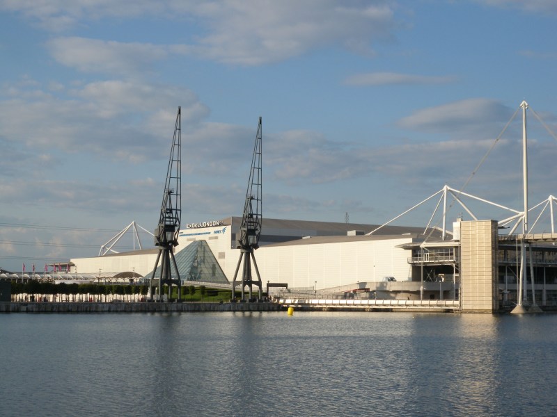
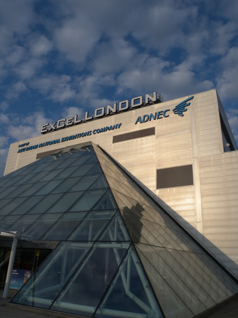
This first section covers goes from the Thames Barrier to the ExCel Centre which has some great photographic areas including parks, the river, train stations, disused buildings, bridges, the docks, and the ExCel centre itself.
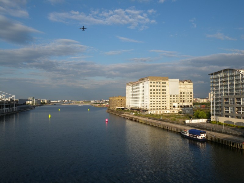
The start of the route is at Pontoon Dock DLR station which gives great views over towards the ExCel centre and the docks. Watch out for planes landing.
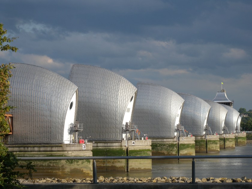
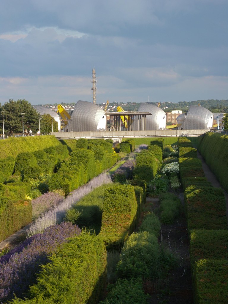
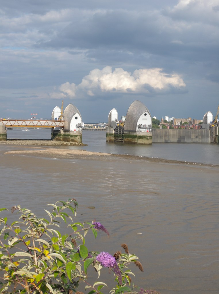
Come out of the station into the car park for the station architecture and then head towards the Thames Barrier Park up the ramp. Turn left towards the river and investigate the sunken garden below. You should come out at the Pavilion of Remembrance right on the river next to the Thames Barrier. Turn right and get a longer perspective of the tidal defences.
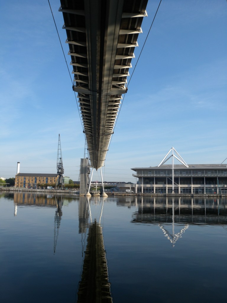
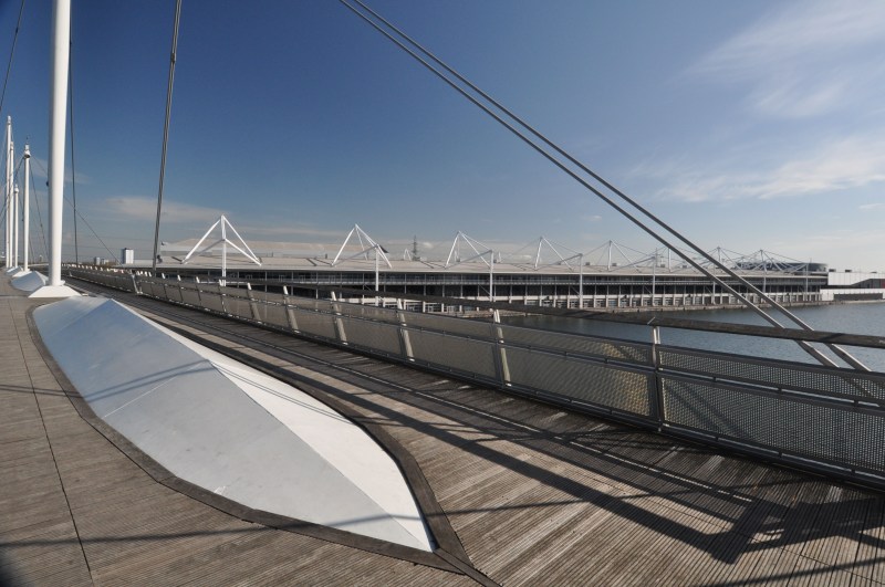
Return diagonally back towards the station and then down onto the Woolwich Road. Turn left and then take the first right (Mill Road) by the fire station. Go to the roundabout at the end of the road and turn left on Wesley road and then immediately right by the shops which will bring you to Royal Victoria Docks and the bridge . Victoria Docks opened in 1855 on a previously uninhabited area of the Plaistow Marshes, it was the first of the Royal Docks and the first London dock to be designed specifically to accommodate large steam ships. After exploring this side of the dock cross the Royal Victoria Dock Bridge taking in the views and then alight at the ExCel Centre.


